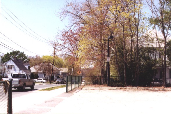
This view is looking west from the parking lot of Dean Dairy.
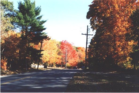
The view from DeVincent Circle, heading towards Bentley College, with the entrance to
Stonehurst on the left.
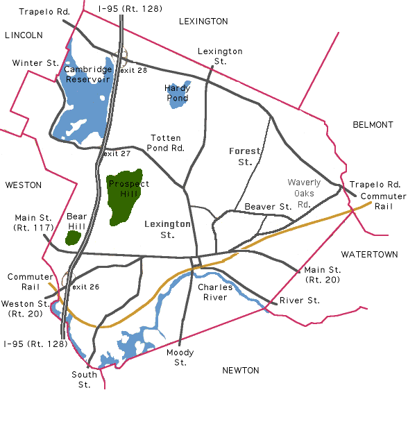
Beaver Street begins at Lexington Street, and continues east to DeVincent Circle, at which point it connects with Lyman Street. It proceeds eastward past the entrance to the Paine Estate, past Forest Street and the ever-expanding Bentley University. DeVincent Farm used to be on the right, before the UMass Field Station, with the Girl Scouts Cedar Hill Camp across the road. The street ends at the corner with Cornelia Warren Field, where it meets Waverley Oaks Road. Beavers were once plentiful on the adjoining watercourses, Chester Brook, Lyman Pond, and Beaver Brook. Much of the open space left in Waltham is in the vicinity of this street.
|
|
|
Map of major streets and roads
Waltham Community home page
Waltham photographs directory
Copyright © 2001, 2014 by Scott Shurr. All rights reserved.
Contact Scott Shurr at
sshurr@gmail.com
Created: May, 2001. Updated: 19 May 2014